
PO Box 2, Ardmore, Oklahoma 73402
Email: butchbridges@oklahomahistory.net, Phone: 580-490-6823
Old man winter hit parts of southern Oklahoma pretty hard Wednesday. Lots of sleet and ice. I sure don’t like driving on it, but made it to work and back ok. Reminded me of the many times during my 15 years at Ardmore’s ambulance service when I had too make calls on the ice and snow to accidents and and sick calls. I remember one call in particular about 1973. My partner Robert Vernon and I started on a call from our office behind the old Ardmore Adventist hospital traveling east on 12th NW. Ice everywhere. When I reached 12th and E Street NW, there in the SE corner of that intersection (across from T&M Pharmacy) was a service station. I was traveling too fast to make the jog in that intersection, and had to continue straight into the filling station property. Luckily I was able to stay between the gas pumps, not hitting one, and coming to a stop at the east end of that property. That was just one of many close calls I had during my years with the ambulance service.
An item of standard equipment found in every oil field dog house, in every office and virtually every home was that of another Ardmore inventor, William Lewis Brooks, who name was given to his invention, the space heater. With the introduction of natural gas into Ardmore from the Wheeler field in 1907, this local plumber scratched his head and came up with the Brooks Burner, the most familiar name in household and commercial heaters for several generations. Brooks saw the possibilities in this new fuel, and with the help of Wilson Newman, a sheet metal fabricator, perfected the odorless, smokeless heater. By 1925, 13,000 of the stoves were produced annually in Ardmore as the Brooks Burner became the most popular heater on the market. -Territory Town The Ardmore Story by Sally M. Gray
I’m working on a plan to upload all my newsletter (1,100 issues) to Google Books so they will be available for searching and reading for future generations for free. I will have to convert them from HTML format to PDF for uploading to Google’s website and book repository. Before converting to PDF I need to edit corrections, etc., then do the upload. That will take some time unless I figure out a quick way to do it. I can convert all 1,100 issues from HTML to PDF in the matter of minutes with a program I have, but the editing will take some time.
https://www.google.com/googlebooks/about/
January 1958
Great gobs of snow fell in the area just before Noon. Later on, a mixture of rain and snow continued during the early afternoon as a biting cold front swept through. The moisture so far as totaled 1.23 inches.January 1983
Shedrick Jones, who was hired a week ago as a Lone Grove Police Officer, resigned five days later, citing an inability to get along with new police chief, Bill Malone. Malone subsequently appointed David Dalton, a Marietta resident, to replace Jones.Q. What Oklahoman invented the pressurized suit that would make high altitude flights possible?
A. Wiley Post and Will Rogers.
http://www.okhistory.org/publications/enc/entry.php?entry=PO023Q. Where in Oklahoma was the world’s largest pecan pie baked?
A. Answer in next week’s newsletter
Below is from This and That newsletter archives of March 2, 2006
Many of you will remember where Ray’s Roller Rink was years ago. It was housed in the old National Guard Armory on Sunset Dr SW where the Greater Southwest Historical Museum is located today.
https://oklahomahistory.net/ttphotos6a/RaysRollerRinkRuler.jpg
————————————————————————
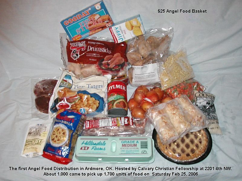
This is a pic I took of my actual Angel Food Program food basket items I received last Saturday.
https://oklahomahistory.net/ttphotos6a/AngelFood022506e.jpg
————————————————————————
Boyd’s Oil Springs is 20 miles NE of Ardmore in Johnston county. It was the home of Winchester Colbert (2nd Governor of the Chickasaws) and sold to Boyd. Annica Kemp, the wife of Winchester Colbert is buried there.
————————————————————————
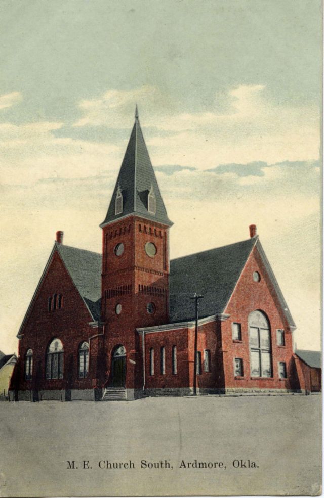
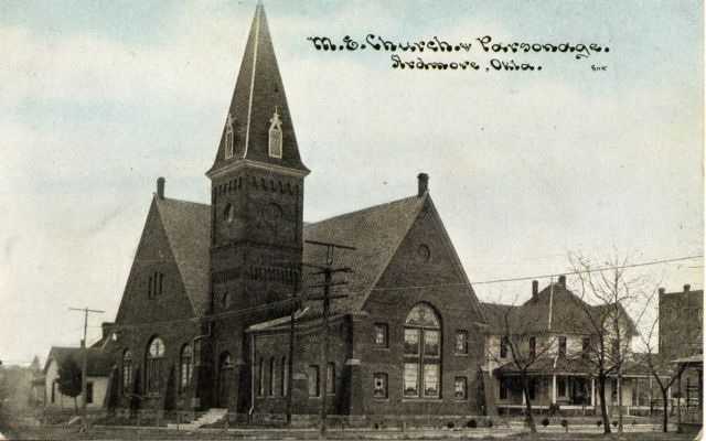
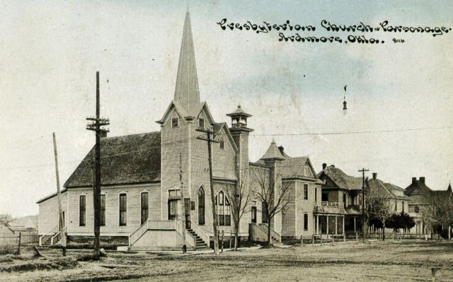
“Attached are three different scanned photos I have of the same Methodist Episcopal church, all from the collection of my mother, Mary Katherine Sullivan (who grew up in the 1920’s at 306 G. St. N.E.). One appears to be the same exact postcard as the one you labeled “MEChurch1908.jpg” based on the lettering style on the card. FYI, also attached is one scanned postcard photo of the old Presbyterian Church and parsonage; it was a different building entirely. I enjoy your newsletter immensely, many thanks for all the TLC you put into it.” -Don Gwynne, Arlington, TX
https://oklahomahistory.net/ttphotos6a/ArdmoreMEChurch6a.jpg
https://oklahomahistory.net/ttphotos6a/ArdmoreMEParsonage6a.jpg
https://oklahomahistory.net/ttphotos6a/ArdmorePresbyParsonage6a.jpg
————————————————————————
“Butch: FYI, Oil Creek was as big as Turner Falls, thousands of people would go there in the summer. They also had a hotel and a town there in the late 1800s. There are numerous photos of the Oil Creek Falls. Bob Goddard dammed up the lake and the falls, making a 90 acre lake which is there now. There is still a little of the falls at his house near there. Above Oil Creek is a cemetery where Winchester Colbert, Chief of the Chickasaws, is buried and many others. It is totally overgrown and rundown, but still there. As for the road from Baum to Nebo, the old Setliff Store (about halfway between Nebo and Baum) is still there, we have it and it used to be the gas stop between Baum and Nebo. As for the road, it was built by G.W. Young, who was a county commissioner, and owned the largest ranch in southern Oklahoma at the time. He married a full blood Chickasaw. He is buried in the Young Cemetery which overlooks the airpark. This was the road across the Washita at the air park. The reason the road is so crooked is because he wanted to go by every house on the way.”
————————————————————————
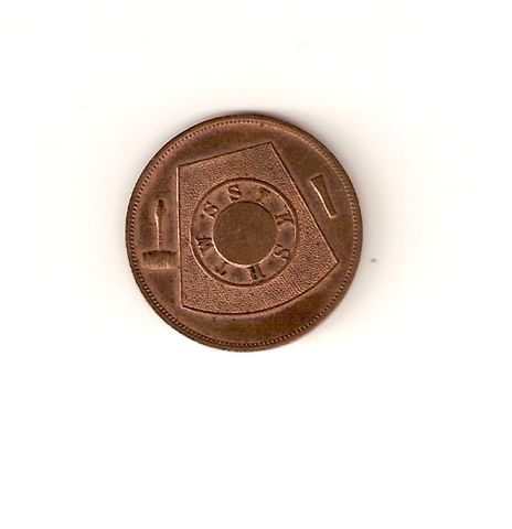
“Butch, This coin is like the Mason coin in last week’s T&T. It was my Dad’s.” -Grover Wells
https://oklahomahistory.net/ttphotos6a/ArdmoreMasonPenny6a.jpg
https://oklahomahistory.net/ttphotos6a/ArdmoreMasonPenny6b.jpg
————————————————————————
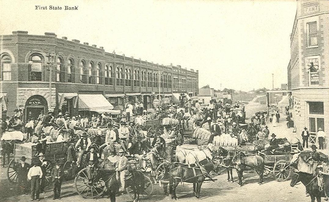
Sulphur, Oklahoma I.T. Street scene of cotton wagons, Fant building and First State Bank.
https://oklahomahistory.net/ttphotos6a/SulphurCottonWagons.jpg
————————————————————————
“Hi Butch, I have been one of your avid readers for over a year, and enjoy every one of the issues. I grew up in Gene Autry and got mixed up in your directions coming into town. As I remember coming South from the Airbase as you come into the North end you make a right hand turn go across tracks, make a sharp left and go south down through town, at the South end its a rolling curve to the right and then a Left over the tracks headed for Ardmore the back way. Back at the North end if you made a left it would take to where you could make a right turn and follow it all the way to the South end and a sharp right and incline over the tracks you then came back into the main road, back at the North end if you stayed straight it would take you over to the C.F. Mock ranch, when we were out of school we would work at the ranch hauling hay for the summer. As we were growing up there we had a name for the business owners and the retired people. We called them the spit and whittle club; when they were not playing dominos they were sitting around chawin tobacco and whittling on a stick. Also, at the North end before crossing the tracks on the left was the Santa Fe cattle shipping yards. We use to round up a bunch of Jacks & Jenny’s that Pat Whitfield turned loose to graze and put them in the corrals. We would build a fire and ride the Jacks and Jenny’s until around 10pm or so and then I had a 3 mi. walk home. If only the kids today could experience growing up in a small town. We made our own entertainment. Hope you might be interested in this bit of memories. Keep up the good work. Before sending this I went back and examined your map and should have known you would be right, your map was before the Army Air Base was put in the way. One of Oklahoma’s well known celebrities who still lives in Oklahoma is Les Gilliam who was from Gene Autry. Until next time.” -Robert Cole
————————————————————————
————————————————————————Some mail from this week’s MAILBAG…..
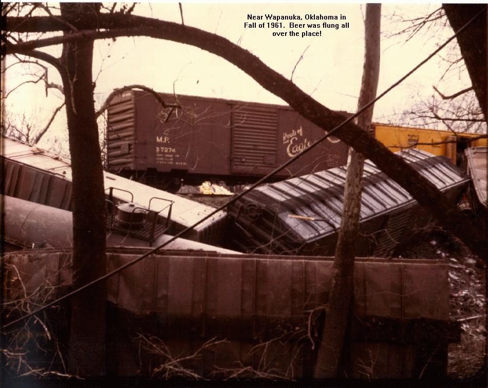
The Wapanuka, Oklahoma train wreck was not Fall of 1961. It was 1962. We carried beer out in cases then went back and paid one dollar per sack. I was at BS&B at the airpark. Southeastern guys were taking it back to Durant while us Carter County guys headed West. Trouble was, it was Schlitz. -Vince
https://oklahomahistory.net/ttphotos7a/WapanukaTrainWreck.jpg
———————————————–
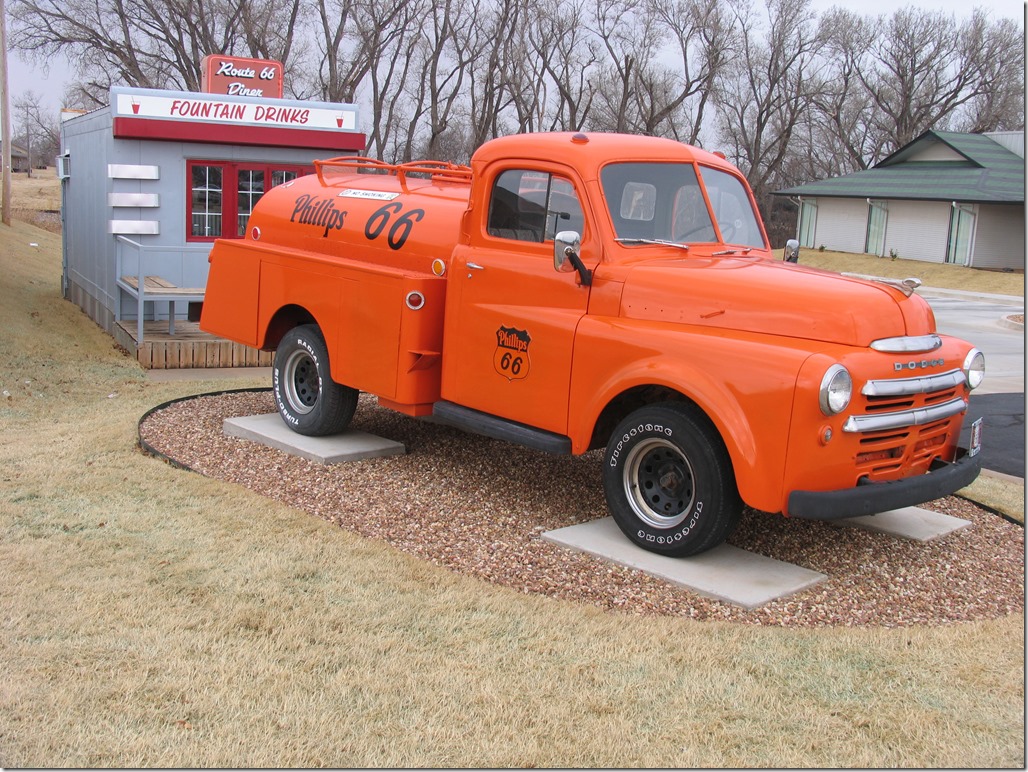
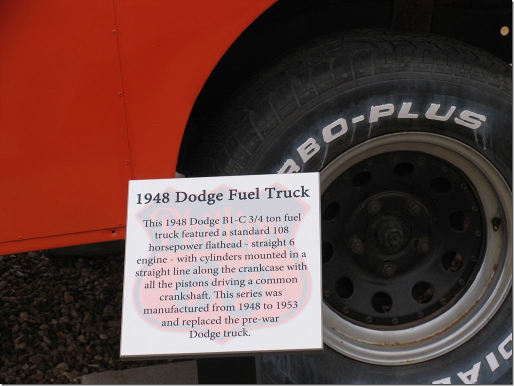
Hi Butch, Here is a 1948 Dodge fuel truck that I took a picture of this past weekend. It is in Clinton, Oklahoma. -Cecil Elliott
https://oklahomahistory.net/ttphotos18a/DodgeFuelTruck1948.jpghttps://oklahomahistory.net/ttphotos18a/DodgeFuelTruck1948b.jpg
———————————————–
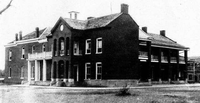
Armstrong Academy, Bokchito, Oklahoma
https://oklahomahistory.net/ttphotos18a/ArmstrongAcademyBokchitoOK.jpg
———————————————–
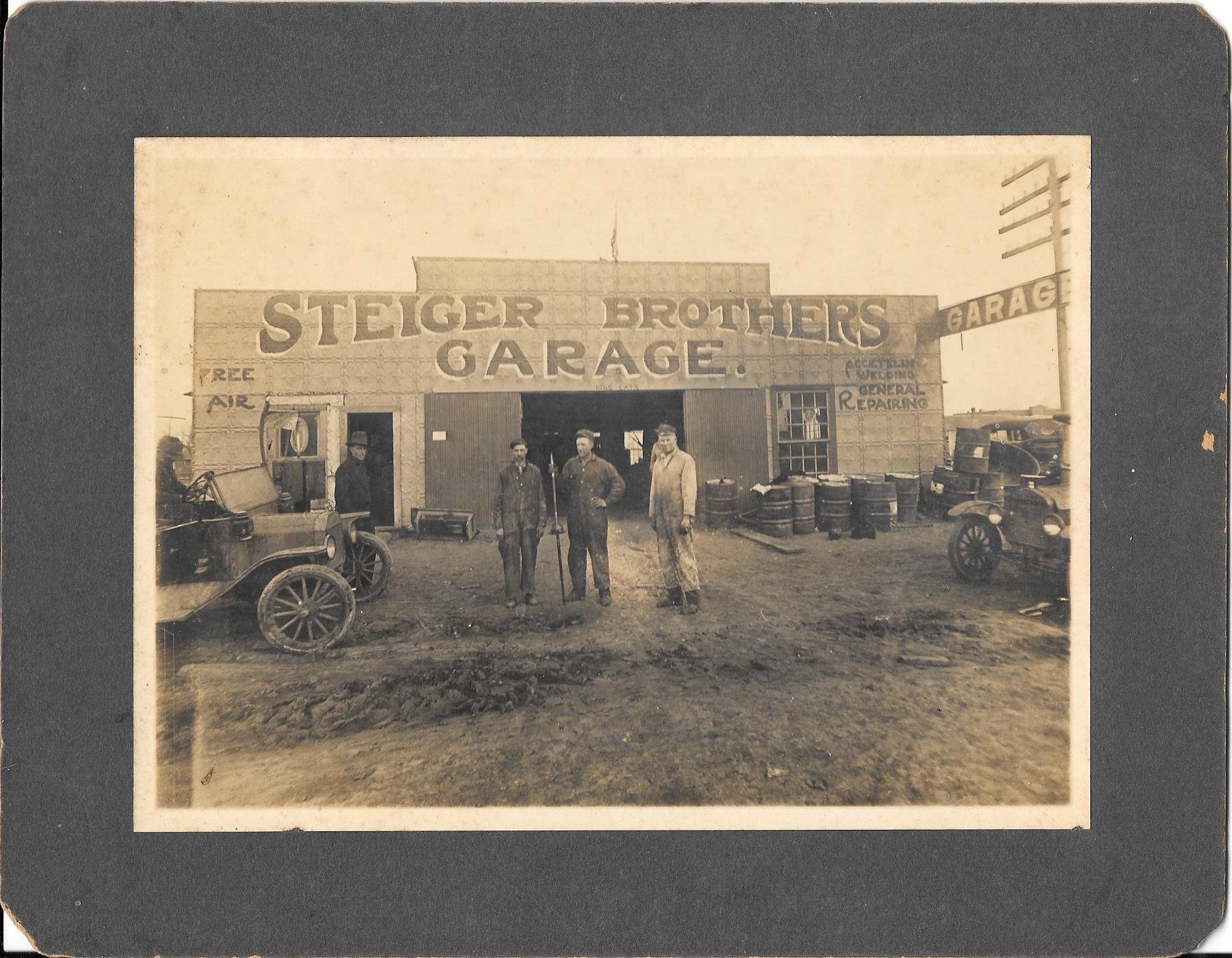
Steiger Brothers Garage, Marietta, Oklahoma
https://oklahomahistory.net/ttphotos18a/SteigerBrothersGarageMariettaOK.jpg
———————————————–
A few weeks back I sent a picture from 1938 in Henryetta, OK of the farm woman in the back of that little bitty Model T truck. I was curious as to what Henryetta looks like at the same intersection today. I found it. It is still the same old town. The population is still about the same as 1938. Some things never change – I guess. The old gas station dates to the late 1930’s. -Cecil Elliott
https://oklahomahistory.net/ttphotos18a/MainStreetHenryettaOKJan2018a.jpghttps://oklahomahistory.net/ttphotos18a/HenryettaOKJan2018b.jpg
———————————————–
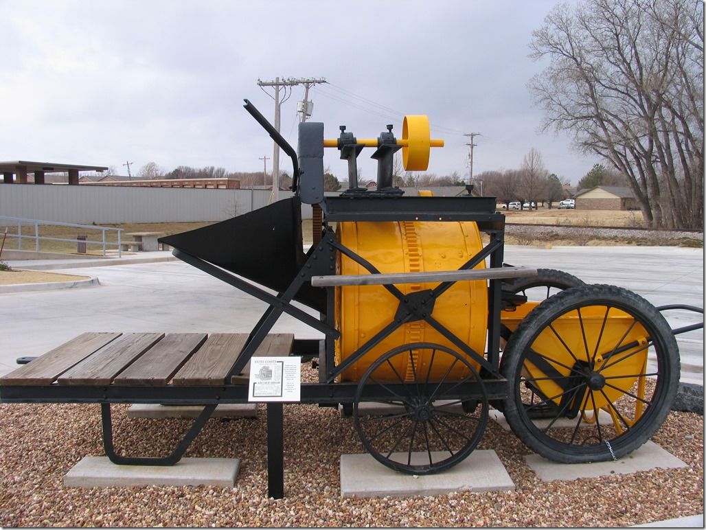
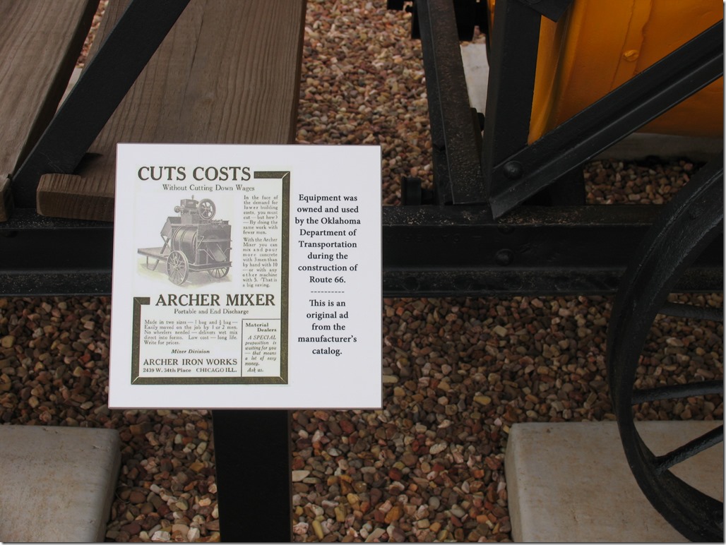
Here is a picture of a mixer owned and used by ODOT during the construction of Route 66 – completed in 1926. Clinton, Oklahoma -Cecil Elliott
https://oklahomahistory.net/ttphotos18a/ArcherConcreteMixer1.jpghttps://oklahomahistory.net/ttphotos18a/ArcherConcreteMixer2.jpg
———————————————–
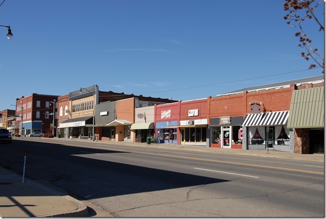
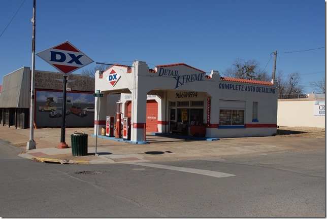
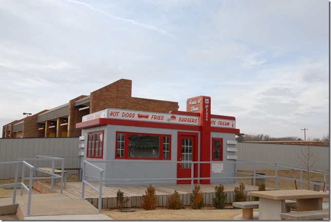
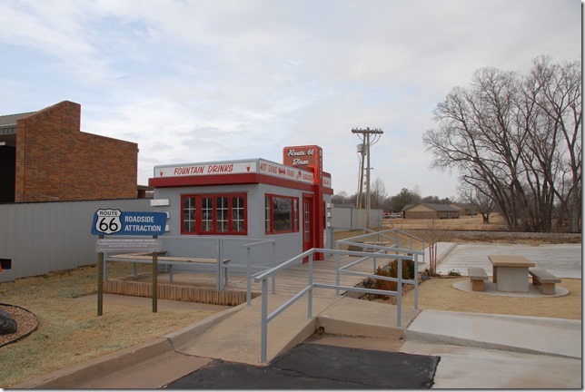
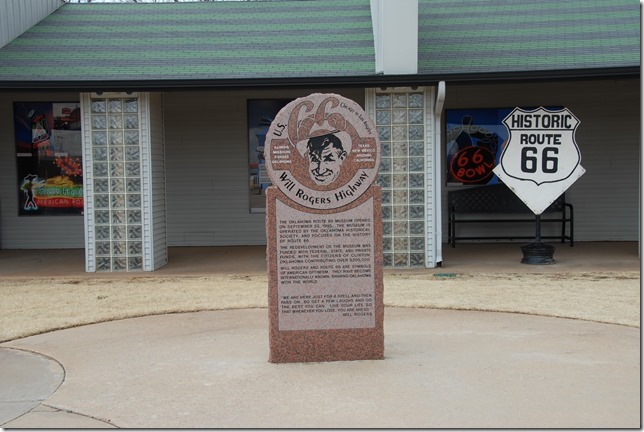
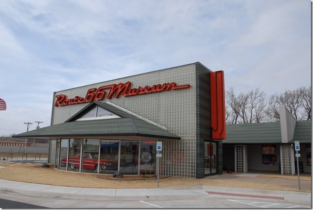
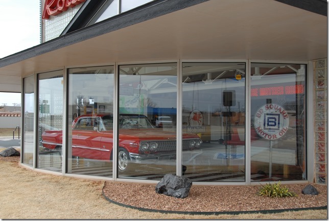
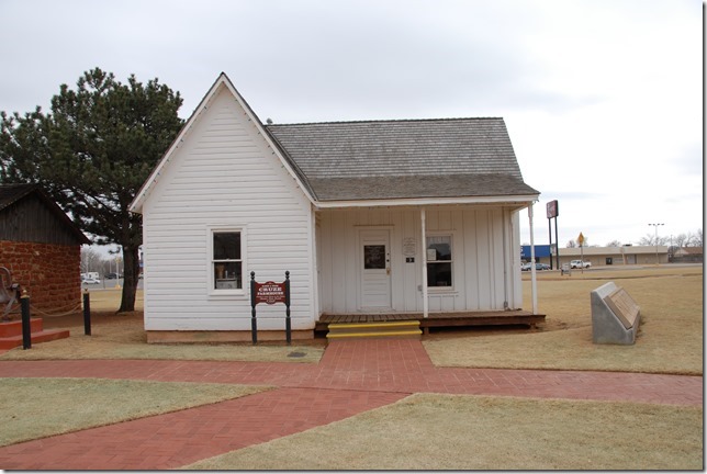
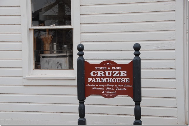
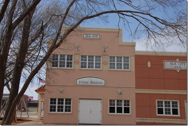
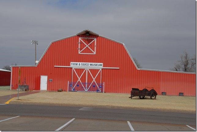
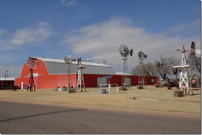
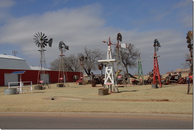
Some photos I took at Clinton, Oklahoma and Elk City, Oklahoma. -Cecil Elliotthttps://oklahomahistory.net/ttphotos18a/ClintonOK021818a.jpg
https://oklahomahistory.net/ttphotos18a/ClintonOK021818b.jpg
https://oklahomahistory.net/ttphotos18a/ClintonOK021818c.jpg
https://oklahomahistory.net/ttphotos18a/ClintonOK021818d.jpg
https://oklahomahistory.net/ttphotos18a/ClintonOK021818e.jpg
Elk City, Oklahoma
https://oklahomahistory.net/ttphotos18a/ElkCityOK021818f.jpg
https://oklahomahistory.net/ttphotos18a/ElkCityOK021818g.jpg
https://oklahomahistory.net/ttphotos18a/ElkCityOK021818h.jpg
https://oklahomahistory.net/ttphotos18a/ElkCityOK021818i.jpg
https://oklahomahistory.net/ttphotos18a/ElkCityOK021818j.jpg
https://oklahomahistory.net/ttphotos18a/ElkCityOK021818k.jpg
https://oklahomahistory.net/ttphotos18a/ElkCityOK021818L.jpg
———————————————–
———————————————–Where there is Hunger, Law is not regarded; and where Law is not regarded, there will be Hunger. -Benjamin Franklin
Butch and Jill Bridges
“Friends Make Life Worth Living”PO Box 2
Lone Grove, Oklahoma 73443
Vicious Dog Attacks in Oklahoma
https://oklahomahistory.net/viciousdogs.html
Oklahoma Bells: https://oklahomahistory.net/bellpage.html
Bill Hamm’s Cemetery Database
http://www.usgwarchives.net/ok/carter/cartercm.htm
American Flyers Memorial Fund – Administration Webpage
https://oklahomahistory.net/crash66.html
Official American Flyers Memorial Website
http://www.brightok.net/~wwwafm
Ardmore Army Air Field/Ardmore Air Force Base Website
http://www.brightok.net/~gsimmons
Mirror Site of the Ardmore Army Air Field/Ardmore Air Force Website
https://oklahomahistory.net/airbase/
Carter County Government Website
http://cartercountyok.us